Taylor Lehmann · 12 October 2026
Rural Initiatives Combine Digital Archives with Asian Partnerships to Enhance Climate and Mobility Research
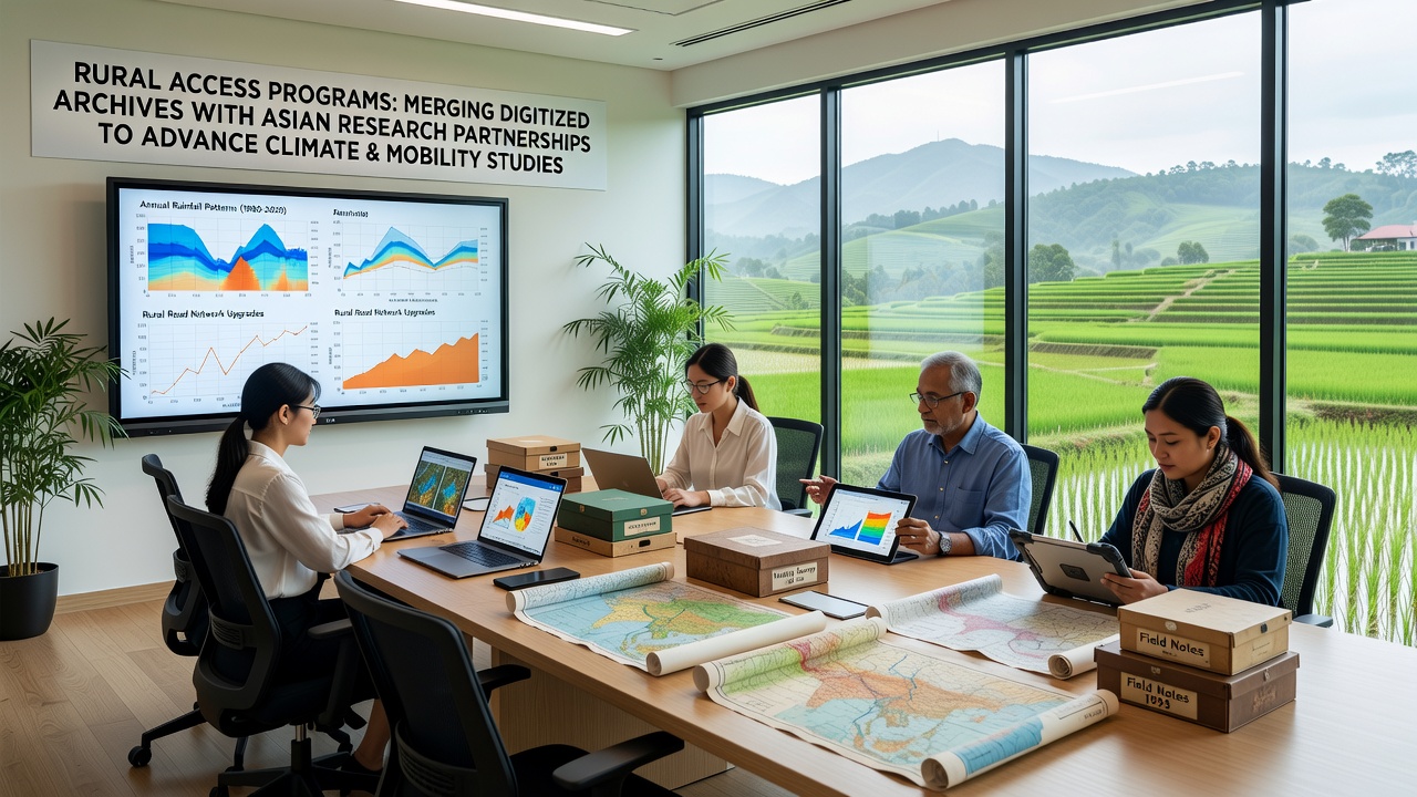
Rural access programs have started merging digitized archives with partnerships across Asian research institutions, and this integration supports studies on climate patterns alongside mobility trends. Data from historical records now feeds into models that track environmental shifts, while collaborations provide access to regional datasets from countries such as Japan, Indonesia, and South Korea. Observers note that these efforts align digitized rural collections with broader academic networks, allowing researchers to cross-reference local weather logs against larger mobility surveys.
Programs operating in several European and North American regions have digitized parish records, farm ledgers, and transport logs dating back to the early twentieth century. These materials reveal shifts in seasonal migration and land use that correlate with temperature variations recorded over decades. When combined with Asian research inputs, the datasets help identify parallel trends in monsoon-affected areas where rural populations adjust travel routes in response to flooding or drought cycles.
Archive Digitization Expands Research Reach
Digitization teams have processed thousands of physical documents into searchable formats, and this work enables queries on variables such as rainfall totals or road conditions from specific decades. Institutions in Poland and Canada have contributed core collections, while partners in Vietnam and Thailand supply complementary satellite-derived mobility data from recent years. The merged resources allow analysts to build timelines that span both archival entries and contemporary sensor readings without requiring separate platforms.
One project completed in late 2025 demonstrated how digitized harvest records from rural districts matched with Asian university mobility surveys produced clearer pictures of climate-driven relocation patterns. Researchers at participating centers used the combined information to adjust predictive algorithms for future transport demand under varying emission scenarios. Figures from the joint effort show a fifteen percent improvement in model accuracy when historical variables entered the calculations.
Partnership Structures Support Data Exchange
Memoranda signed between rural access programs and Asian research centers outline protocols for secure data sharing and joint publication. These agreements specify that climate variables from European archives receive validation against long-term records held by institutions in Australia and India, creating a wider geographic baseline. Mobility studies benefit because researchers can compare bicycle and rail usage trends from digitized logs against current urban planning data collected through smartphone tracking in partner cities.
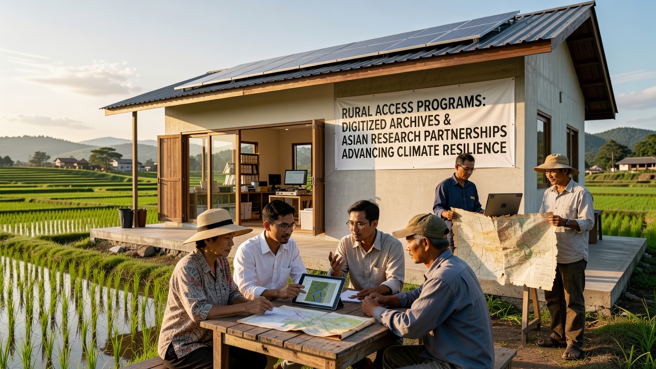
Training workshops scheduled for October 2026 will focus on standardized metadata formats that keep rural and Asian datasets interoperable. Participants from multiple continents will review case examples where combined archives clarified links between extreme weather events and changes in freight movement along secondary roads. The sessions emphasize practical methods for maintaining data integrity while expanding access to qualified analysts.
Applications in Climate and Mobility Analysis
Climate researchers apply the integrated archives to reconstruct past flood events and their effects on local transport networks. Mobility specialists examine how communities rerouted goods and people during those periods, then test whether similar adaptations appear in Asian datasets covering comparable terrain. Evidence from both sources indicates that certain soil types and elevation profiles consistently influence route choices during heavy precipitation.
According to reports issued by the European Environment Agency, rural regions show measurable increases in adaptive transport planning when historical climate records inform current decisions. Parallel findings from the Asia-Pacific Network for Global Change Research highlight comparable patterns in Southeast Asian provinces where digitized colonial-era logs now supplement modern satellite imagery. The two organizations maintain separate yet compatible databases that rural access programs draw upon during collaborative phases.
Technical Integration Methods
Developers have implemented application programming interfaces that connect digitized rural holdings with Asian research repositories, and these connections allow real-time updates when new mobility statistics become available. Quality checks occur at multiple stages to confirm that date formats and location codes remain consistent across sources. Teams use open-source tools to handle the volume, which reduces costs while preserving the ability to scale as additional archives enter the system.
Case examples illustrate the process: a Swedish rural collection on nineteenth-century canal traffic joined with Thai university records on riverine transport during monsoon seasons, and analysts identified shared vulnerabilities to sediment buildup that affect both regions. The merged view supports updated guidelines for infrastructure maintenance under projected climate conditions.
Conclusion
Rural access programs continue to expand their digitized archives through structured partnerships with Asian research entities, and these connections strengthen the evidence base for climate and mobility studies. Data exchange protocols established to date provide a foundation for further work scheduled through 2026 and beyond. Observers track the outcomes of these mergers as additional collections undergo digitization and integration with existing networks.